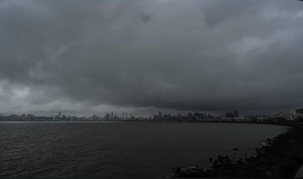
Mumbai woke up to light showers and overcast skies on Wednesday morning, after gusty winds, moderate rainfall, and thunderstorm activity lashed the city and neighbouring districts like Thane late Tuesday night.
According to the India Meteorological Department (IMD), the Mumbai Metropolitan Region is expected to experience rain and thunderstorms for at least the next two days, with a yellow alert in place until Thursday morning. The IMD has also issued a nowcast warning for light rain in isolated pockets of the Mumbai district over the next three to four days.
Data from the weather bureau shows that on Tuesday, IMD’s Santacruz observatory and Colaba coastal station recorded a maximum temperature of 34°C. The minimum temperature rose to 29°C — over two degrees above normal.
After a day of sweltering heat, gusty winds brought relief to many parts of the city Tuesday night. Localities across the island city as well as the eastern and western suburbs — from Dahisar to Andheri, Powai, and Lalbaug — witnessed strong winds, thunder, lightning, and spells of moderate rain. Neighbouring districts, including Thane, also reported similar conditions.
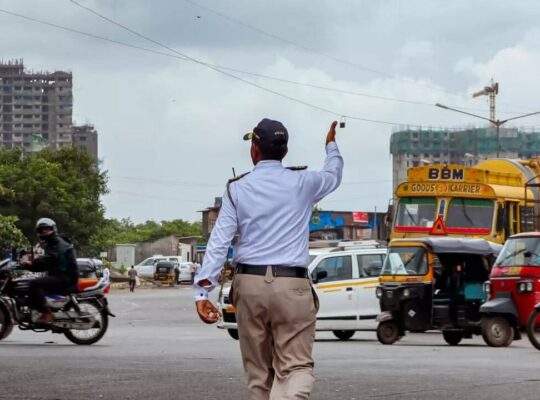
However, the downpour affected suburban train services and road traffic. Indian Railways officials said some local trains were briefly delayed or regulated due to a piece of cloth reported hanging over the Overhead Equipment (OHE) on the Dahisar up line. Isolated incidents of tree collapses were also reported.
Late Tuesday, the Mumbai Traffic Police reported a tree collapse near Agar Bazar junction in Dadar, which impacted vehicular movement in the area.
Indicating that rain activity is likely to persist, the IMD placed Mumbai and several other districts in the Konkan region under a yellow alert until Thursday morning. The alert cites the likelihood of “thunderstorms accompanied by lightning, light to moderate rainfall, and gusty winds.” While no further warnings have been issued for Mumbai post-Thursday, meteorologists suggest the city may continue to see cloudy skies with occasional drizzle until Friday.
Experts attribute the unseasonal showers to a “very strong” western disturbance system at the lower atmospheric levels, currently influencing weather conditions across the Konkan region. The disturbance, which was earlier over central Pakistan, is now located over West Rajasthan and adjoining areas. As a result, Mumbai may see a dip in temperature by 2–3°C over the next few days.
Elsewhere in the state, isolated pockets of North Madhya Maharashtra and Marathwada witnessed thunderstorms and hail on Monday.
The Konkan region often records pre-monsoon showers in April and May. IMD data shows that Mumbai received 21.3 mm of rainfall in May 2024, compared to just 3.4 mm in May 2023. The city’s wettest May on record was in 2000, when it received 388 mm of rainfall. Its heaviest single-day downpour in May occurred on May 18, 2021, when the Santacruz station logged 230 mm.